
The tows were smaller on the Illinois, only 3-wide. Of course
the river was narrower too.
It still gets your attention to meet 'even' a 3x3 on a curve.

Note the small green channel marker down and to the left of the
barge. Since the Illinois is marked 'Red Right Returning' heading upstream,
this tow is is in the process of turning to Port and will be coming between
the mark and the shore you see to the right in the picture - to just about
where we are.
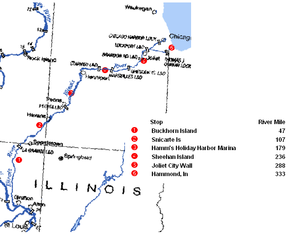
While the first 300 miles or so were through nature preserves and wooded
flood control areas, most of the last 30 miles were anything but.

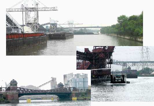
There is a stretch (part of the Chicago Sanitary Canal) that is a BIG
barge fleeting area. 12 miles of narrow congested traffic.
The Calumet River empties into Lake Michigan. I guess the O'Brien lock
keeps the lake from leaking away south down the Cal-Sag canal. Above the
lock is part of the 'gritty' underside of South Chicago (or at least it
looks that way).
Till Later!!
| Previous Issue (Number 23) | Home | Next Issue (Number 25) |